3D Laser Scanning
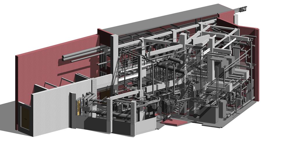
Digital Surveys provide a comprehensive data capture service using the latest 3D laser scanning and LiDAR technology. This allows us to virtually map everything from large scale city models to small industrial components.
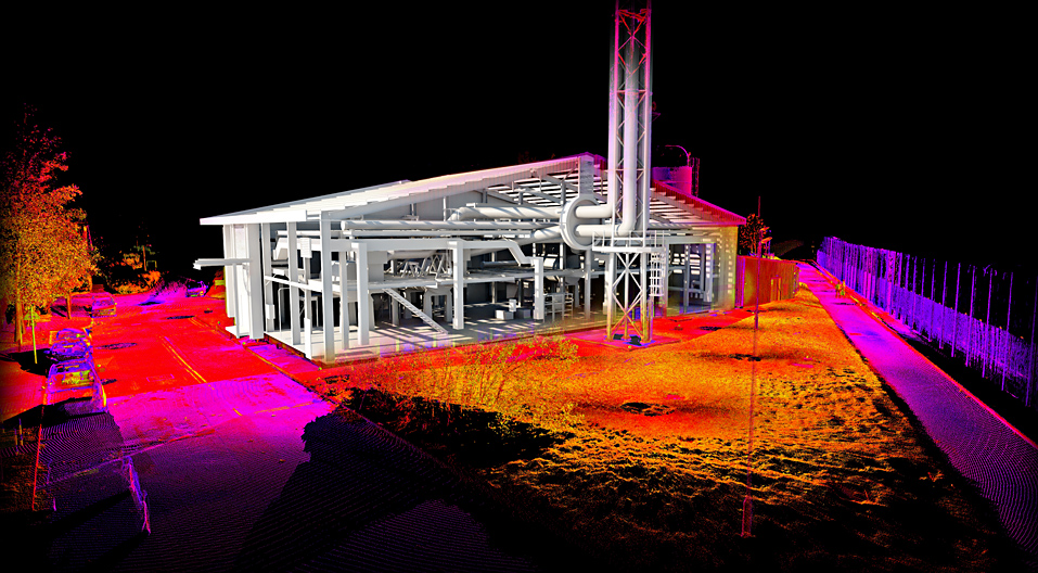
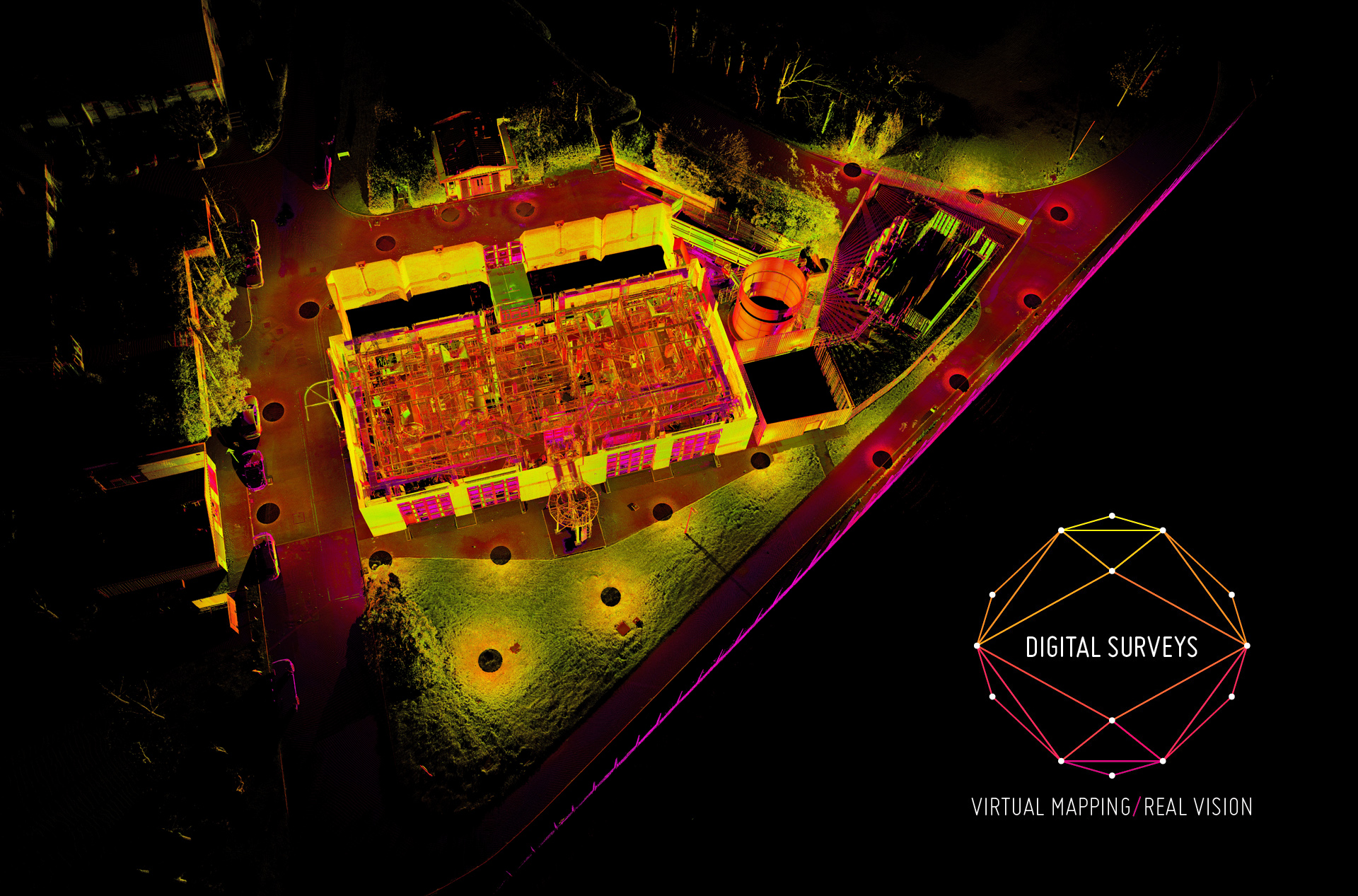
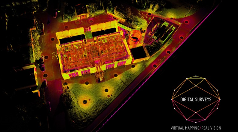
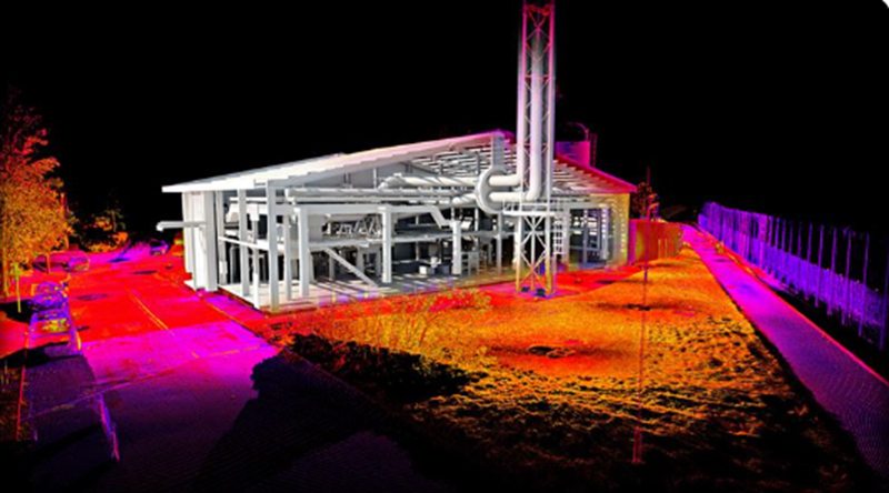
We utilise a range of 3D laser scanners each with different capabilities, ranges, speed, durability and accuracies. So when an item or site is scanned, a millimetre accurate 3D data set known as a pointcloud is generated.
The pointcloud is made up of millions of points of data each with a 3D value in space (xyz), so you can expect an incredibly precise and realistic model in return.
Laser scanning is rapidly replacing traditional survey methods due to its fast data capture rates and superior accuracy.
We pride ourselves on being able to adapt to any logistical problem and work in many difficult and demanding conditions.
We are experts in the production of registered pointclouds and carry out projects in Industrial, Architectural, Offshore and Heritage sectors.


 Oil and Gas
 Manufacturing
 Architecture
 Renewable
 Heritage
 We offer very fast data capture